Product

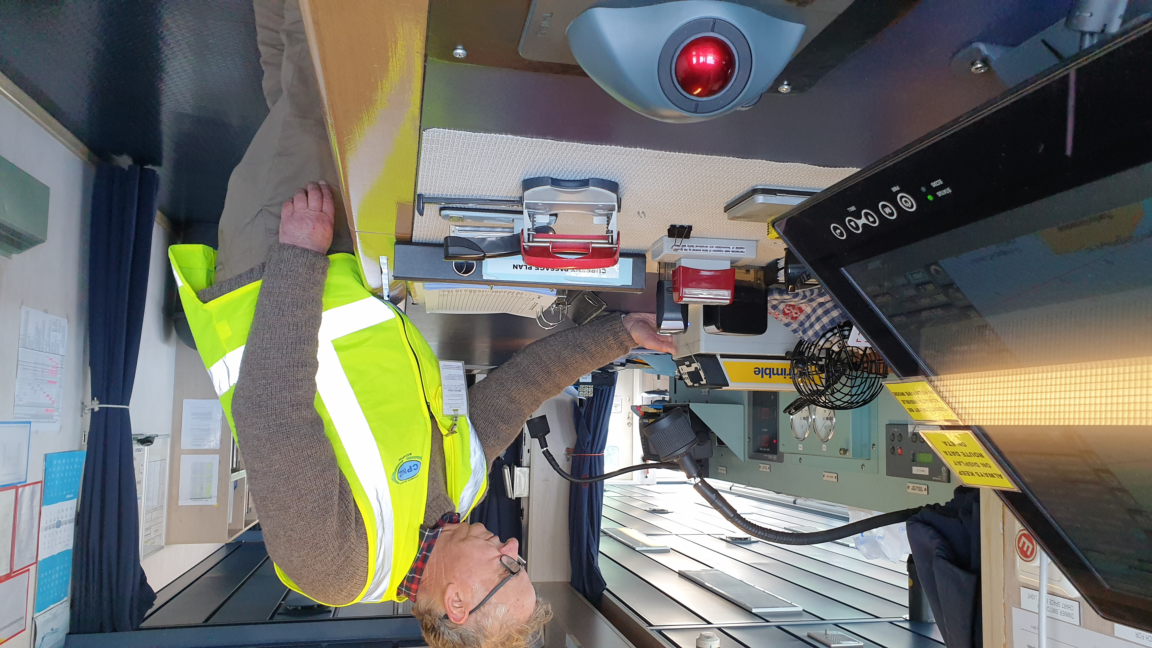
Trimble’s MPS566 Pilot System

2234 -

Panama Canal Pilot System

The Trimble MPS566 Pilot System is an approved non portable GNSS pilot unit designed specifically for ease of use by pilots and first made available for the large vessels transiting the Panama Canal. Trimble GNSS is well established in marine construction in large waterways around the world so it was logical to release this Pilot product for the vessels that use those waterways.

The MPS566 Pilot System leverages Trimble’s decades of expertise in high-accuracy GNSS, offering marine pilots real-time, centimetre-accurate positioning for precise docking, maneuvering in confined waters, and navigating complex port environments.

WTE Ltd contributed to the MPS566 Pilot System with its expertise in pilotage needs, its AIS receiver and compact UPS.
This system is supported in the main Pilot apps such as Qastor, SEAiq, Pilot PRO and SafePilot.
Download PDF
Download PDF
Download PDF
Download PDF
What's your opinion on this?
Login or register to write comments and join the discussion!
Read more...

Video Transit of the Panama Canal with an XDF LNG Carrier on the Newly expanded locks under pilotage

published on 19 December 2020

Join me as we transit through the Panama Canal from the North-East side to the South-West. An interesting vlog on how an XDF LNG carrier transits through the newly expanded Panama Canal.Find out its history and which vessel and Captain transited the Canal on its opening day on the 15th of August 1914.The interaction with the Pilot Captain Arnulfo Cepetno who assist me on transit the Cocoli locks.

2

Video Thousands of Miles at Sea – Why Are the Last Few Miles Through the Panama Canal So Difficult?

published on 6 October 2026

Thousands of miles across the open ocean can seem like the easy part of a ship's journey. The real challenge begins when a massive vessel reaches the final few dozen miles, where open water gives way to narrow channels, strict traffic controls, powerful tugboats, and enormous locks. Nowhere is this more apparent than at the Panama Canal, where ships must be carefully guided through a complex system designed to move them between two oceans. So how can the last few miles of a journey become...

0

Video Suez canal blocked: attempts continue to free stuck megaship Ever Given

published on 25 March 2021

Efforts to free the giant container ship are continuing after the 400m-long vessel became stuck in the Suez canal. Local authorities attempted to dislodge the 220,000 ton vessel from the banks of the canal using tug boats, but the megaship remains stuck more than one day after it ran aground.

1

Article New app: Pilot´s Tug Assist Tool PTAT - Bollard Pull Calculation for Marine Pilots

by Capt. M. Baykal Yaylai - published on 19 February 2020

Required tug power and number of tugs needed in variable conditions of wind, current and waves isin most cases an assessment made by pilots based on their professional experience. However, assessments will raise questions by lawyers if something goes wrong. They will use tools to calculate what really is needed with respect to tug power and number of tugs. They have furthermore the advantage of time.

2

Video New Ships Orderbook - All current and future new buildings since 2015

published on 1 December 2019

The New Ships Orderbook is an analysis and research online tool for the maritime industry. We publish actually as well as expected or rumored ship orders in the international shipping market. Our Database contains all the vessels which have been delivered since January 2015 as well as yard and owner contacts. Get the information today about the ships of tomorrow! The "New Ships Orderbook" is an analysis and research tool for the maritime industry. It publishes actual as well expected vessel...

0

Video ESAIL maritime microsatellite

published on 16 September 2020

Soon a Vega will launch from Kourou carrying a payload of several satellites. These will be delivered into orbit by a new multi-payload system developed by ESA. Among these small satellites, E-SAIL. This microsatellite is dedicated to supporting maritime traffic and making seafaring safer. It is part of ESA’s SAT-AIS programme, which aims is to increase the coverage of the Automatic Identification System for ships. This system is a short-range coastal tracking system currently used on...

0

Video Wärtsilä Pilot PRO working with TRENZ Pilot Plug

published on 30 August 2019

This video shows how to use the TRENZ Pilot Plug with an iPad and the app Wärtsilä Pilot PRO.

0

Article Qastor 3 is now available - win a one year licence!

published on 18 October 2020

QPS is pleased to announce that Qastor 3 is now available on iOS and Windows.

This brand new version of Qastor is a multi functional navigation platform, which has been developed, designed and tested in cooperation with world-class pilots. Explore straightforward navigation software with optimal docking and piloting capabilities.

0

Video MV Wakashio breaks in two off Mauritius coast

published on 17 August 2020

A Japanese bulk carrier that has spilled more than 1,000 tons of oil since running aground off the coast of Mauritius has broken in two. Officials said the split was caused by a crack in a cargo hold, after the ship's condition deteriorated severely overnight. Emergency teams and thousands of volunteers have been racing to siphon off remaining fuel on board the ship.

1

Video Wind drift making headway - practical experiments for getting useful data for planning

published on 30 May 2022

Another great education video by Knud Benedict (Germany): Practical experiments for getting useful data for planning.

0