08.03.2022 - 09.03.2022
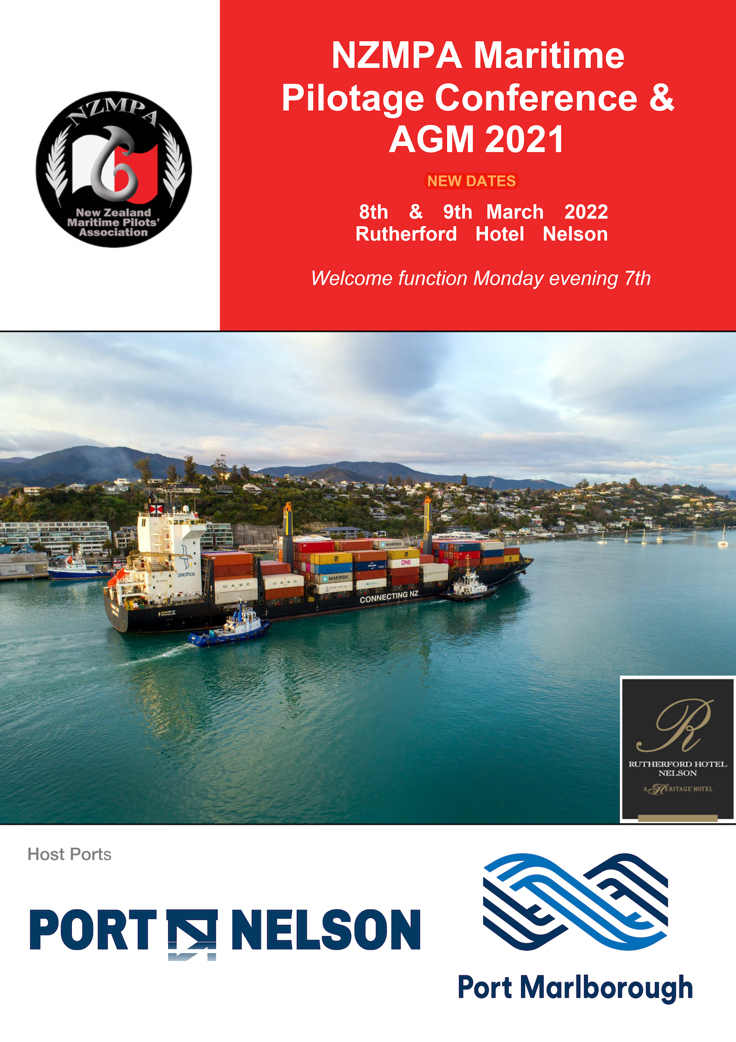
NZMPA Maritime Pilotage Conference & AGM 2021
Held at the Rutherford Hotel Nelson
Host ports: Port Nelson Ltd & Port Marlborough Ltd.
Tuesday 08 March 2022 8:00 AM - Wednesday 09 March 2022 5:00 PM (UTC+13)
LOCATION: Rutherford Hotel, 27 Nile Street , Nelson 7010
Held at the Rutherford Hotel Nelson
Host ports: Port Nelson Ltd & Port Marlborough Ltd.
Tuesday 08 March 2022 8:00 AM - Wednesday 09 March 2022 5:00 PM (UTC+13)
LOCATION: Rutherford Hotel, 27 Nile Street , Nelson 7010

